How the US States Map Quiz Works
Choose Region & Count
Select All U.S. or focus on a specific Census region (Northeast, Midwest, South, or West). Choose how many states to locate.
Find & Click the State
Read the requested state name and click its location directly on the interactive map or the Northeast detail inset.
Learn & Practice Missed
Get instant feedback on what you clicked versus the true target, review your score, and practice only the states you missed.
Locate All 50 States
The United States spans nearly 3.8 million square miles and four official Census regions. Learning where each state sits relative to its neighbors, major rivers, and coasts builds enduring geographic intuition. Whether you are a student preparing for a social studies exam, a trivia enthusiast sharpening your spatial memory, or a traveler planning road trips, this map quiz provides structured, distraction-free practice.
Practice by U.S. Region
Dividing the nation into geographic regions makes memorizing all 50 states significantly faster and more structured. You can practice one region at a time before attempting the full 50-state challenge:
Northeast
Covers New England (Maine, New Hampshire, Vermont, Massachusetts, Rhode Island, Connecticut) and the Mid-Atlantic (New York, New Jersey, Pennsylvania). Compact states are made easy to tap with our dedicated Northeast detail inset.
Midwest
Includes Great Lakes states (Illinois, Indiana, Michigan, Ohio, Wisconsin) and Plains states (Iowa, Kansas, Minnesota, Missouri, Nebraska, North Dakota, South Dakota), defined by the Mississippi, Ohio, and Missouri rivers.
South
Stretches across the South Atlantic (Delaware, Maryland, Virginia, West Virginia, North Carolina, South Carolina, Georgia, Florida), East South Central (Kentucky, Tennessee, Alabama, Mississippi), and West South Central (Arkansas, Louisiana, Oklahoma, Texas).
West
Encompasses the Rocky Mountain states (Montana, Idaho, Wyoming, Colorado, Utah, Nevada, Arizona, New Mexico) and the Pacific region (Washington, Oregon, California, plus Alaska and Hawaii insets).
Map Location vs. State Shape Recognition
Two different geography skills that complement each other for complete U.S. geography mastery:
Where is this state?
Tests spatial location on the complete national U.S. map. You see the state name and click where it sits among neighboring states.
Which state is this outline?
Tests silhouette and boundary recognition from an isolated outline without map context. Ideal for memorizing state borders and contours.
Try Guess the US State by Shape →State Pairs Worth Comparing on the Map
Several neighboring states share similar proportions or adjacent borders. Remembering key geographical anchors helps distinguish them on a national map:
Colorado ↔ Wyoming
Both are classic rectangular states in the West. Wyoming sits directly north of Colorado and borders Montana to the north. Colorado borders New Mexico to the south.
Vermont ↔ New Hampshire
These twin New England states fit together like interlocking wedges. Vermont is wider at the top along Canada and borders Lake Champlain. New Hampshire is wider at the bottom and borders the Atlantic coast.
Mississippi ↔ Alabama
Both share the Gulf Coast. Mississippi sits on the west along the Mississippi River, bordering Louisiana and Arkansas. Alabama sits on the east, bordering Georgia and Florida.
Kansas ↔ Nebraska
In the geographic center of the contiguous U.S., Nebraska sits directly on top of Kansas. Nebraska's eastern border curves along the Missouri River, while Kansas features a flat northern border with Nebraska.
Frequently Asked Questions
How does the US States Map Quiz work?
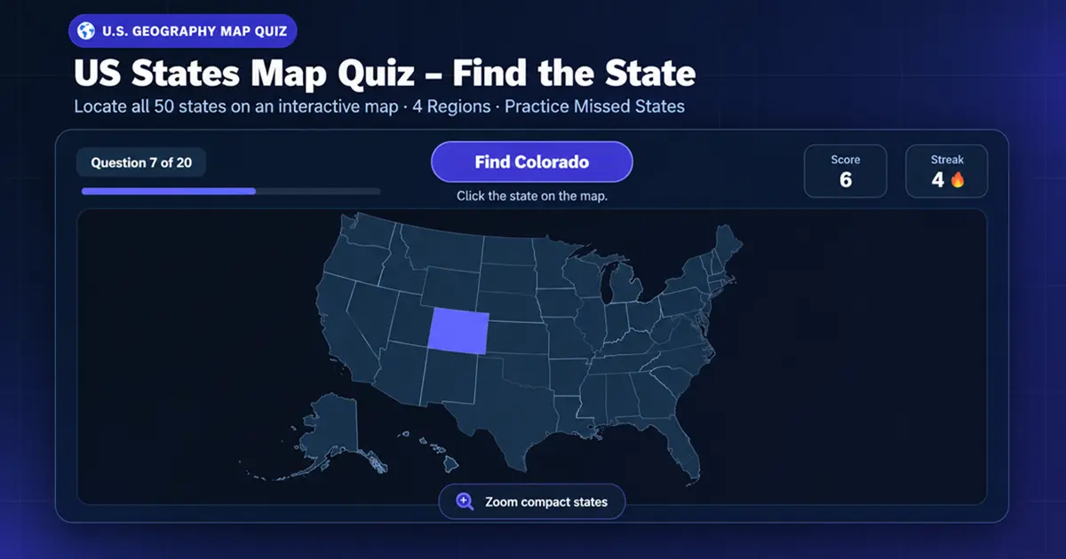
The quiz displays a complete map of the United States along with a state name prompt, such as "Find Colorado". You locate that state on the map and click or tap its location. The tool immediately confirms if you were correct or highlights the requested state if you missed it.
Does the quiz include all 50 states?
Yes. All 50 sovereign U.S. states are included, from Alabama to Wyoming. You can play quick sessions of 10, 20, or 30 questions, or test your complete geography across all 50 states in a single session.
Are Alaska and Hawaii included?
Yes. Both Alaska and Hawaii are rendered as clear geographic insets in their conventional lower-left positions on the map, preserving their authentic coastlines and island geometry.
Is Washington, D.C. included?
No. Washington, D.C. is a federal district and not one of the 50 sovereign U.S. states. Prompts for Washington refer exclusively to Washington state in the Pacific Northwest.
Can I practice only one U.S. region?
Yes. You can filter questions by official U.S. Census Bureau regions: Northeast, Midwest, South, or West. The target questions will be drawn exclusively from your chosen region while displaying the full national map.
Can I practice states I miss?
Yes. At the end of every round where mistakes occurred, you can click "Practice Missed States" to instantly replay only the states you got wrong until you have mastered their locations.
What is the difference between this map quiz and the US State Shape Quiz?
In this US States Map Quiz, you are given a state name and must locate where it sits on the national map. In the separate Guess the US State by Shape quiz, you view an isolated silhouette outline and identify which state it is.