How the US State Shape Quiz Works
Choose
Select your difficulty pool, question count, multiple-choice or typing mode, and optional timer.
Identify
Study the isolated state outline, then pick from four smart options or type the state name or abbreviation.
Review
Check your final accuracy, score, and best streak, then replay your missed state shapes.
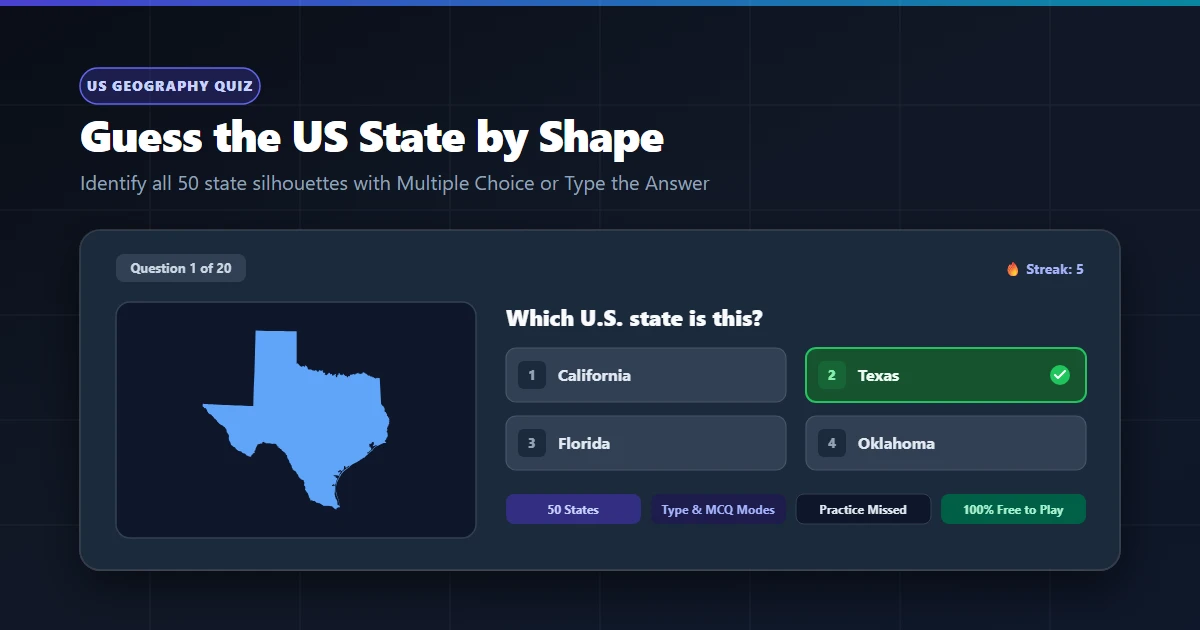
Multiple Choice or Type the State Name
Choose from Four Answers
Identify the state outline by picking between the correct state and three visually similar distractors.
Best for: learning unfamiliar state silhouettes and quick practice.
Recall the State from Memory
Type the full state name or standard 2-letter USPS abbreviation without answer prompts.
Best for: deep geography recall, classroom drills, and speed testing.
Easy, Medium, and Hard State Shapes
Instantly recognizable silhouettes with unmistakable peninsulas, hooks, boot heels, or iconic geography.
Examples: Texas, Florida, California, Michigan, Alaska, Hawaii
Regional outlines with distinctive river borders, coastlines, or wedges requiring moderate geography familiarity.
Examples: Illinois, Indiana, Tennessee, Virginia, Georgia, Oregon
Challenging rectangular states, mirrored border pairs, and compact outlines that require precise boundary recognition.
Examples: Colorado, Wyoming, Vermont, New Hampshire, North Dakota
How to Recognize US States by Their Shape
State outlines become much easier to identify once you look for distinctive geographic hallmarks rather than trying to memorize entire state perimeters at once.
Panhandles & Protrusions
States like Oklahoma, Idaho, Florida, and West Virginia feature unmistakable narrow panhandles extending outward from their main landmass.
Peninsulas & Coastlines
Florida is defined by its south-pointing peninsula, Michigan showcases both an Upper and Lower Peninsula mitten, and Massachusetts features the curved hook of Cape Cod.
Great Lakes & River Borders
Curving borders usually trace major rivers like the Mississippi, Ohio, or Missouri, while deep coastal notches trace Lake Superior, Michigan, or Huron.
Rectangular & Mirrored Twins
Colorado is slightly wider than Wyoming. Vermont is wider at the top along Canada, while its neighbor New Hampshire is wider at the bottom.
Frequently Asked Questions
How many states are included in the US State Shape Quiz?
The quiz includes exactly the 50 U.S. states, from Alabama to Wyoming. You can play in 10, 20, or 30-question sessions or quiz all 50 state shapes in a single run.
Can I type state abbreviations?
Yes. Typing mode accepts both official full state names and standard 2-letter USPS postal abbreviations, such as TX for Texas, CA for California, or FL for Florida.
Are Alaska and Hawaii included?
Yes. Both Alaska and Hawaii are included. Hawaii shows its eight primary islands, while Alaska preserves its recognizable mainland, panhandle, major islands, and key Aleutian features for clear quiz display.
Does the quiz include Washington, D.C.?
No. Washington, D.C. is a federal district and not one of the 50 U.S. states. Entering Washington applies exclusively to Washington state, while District of Columbia answers are rejected with helpful guidance.
Can I practice states I get wrong?
Yes. At the end of every round, you can choose Practice Missed States to replay the state shapes you answered incorrectly and strengthen the ones you found difficult.
What is the difference between a state shape quiz and a US states map quiz?
In this state shape quiz, you see an isolated state silhouette and identify which state it is. In a U.S. states map quiz, you view a complete map of the United States and click or locate where a requested state sits.